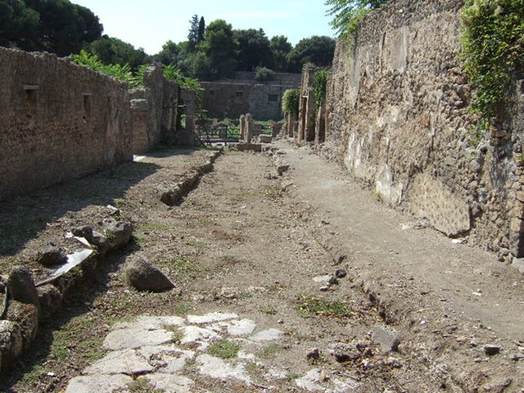
I.5.2 Pompeii. Officina coriariorum of M. Vesonius Primus. Tannery.
Excavated 1874.
Part 6 Part 1 Part 2
Part 3 Part 4 Part 5
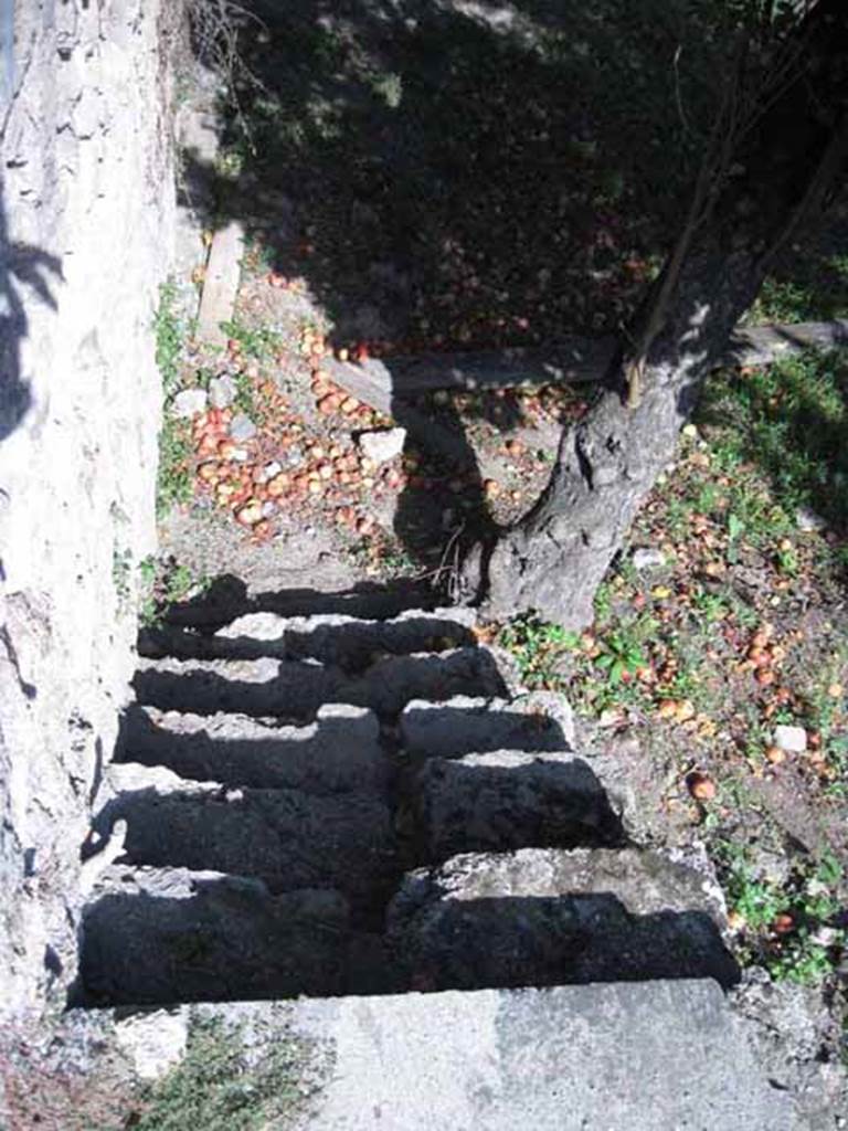
I.5.2 Pompeii. September 2010.
Stairs leading down to open area, from south side of peristyle garden. Looking east. Photo courtesy of Drew Baker.
According to Jashemski, this was a large open area from which previous construction had been cleared.
It was excavated in 1873-4.
Five doors in the south wall leading to the pomerium had been blocked up.
Viola suggested that the garden was used for drying the leather in the sun.
Tatiana Warscher believed the site was used as a kitchen garden.
See Jashemski, W. F., 1993. The Gardens of Pompeii, Volume II: Appendices. New York: Caratzas. (p.33)
Viola, “Scavi”, p.15
Warscher, “Codex”
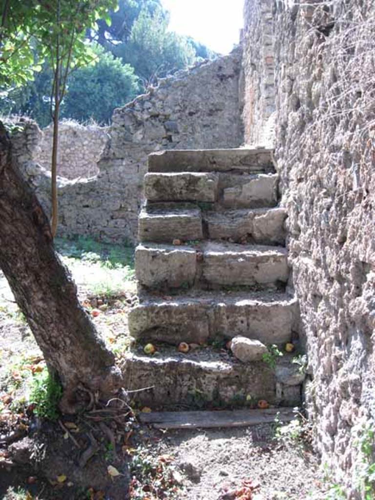
I.5.2 Pompeii. September 2010.
Steps, leading up to peristyle/triclinium area, looking west. Photo courtesy of Drew Baker.
I.5.2 Pompeii. September 2010. Garden area looking east. The east wall is part of I.5.3. Photo courtesy of Drew Baker.
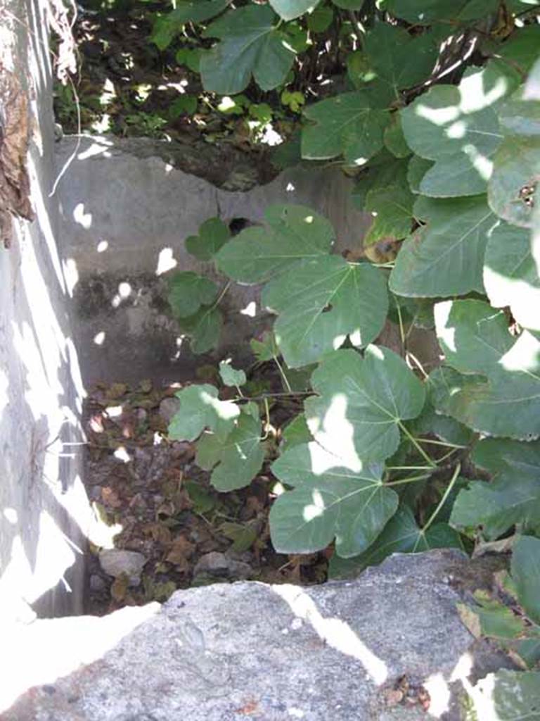
I.5.2 Pompeii. September 2010.
Water tank feature (visible on the south side of wall, in photo above, under fig tree). Looking east.
Photo courtesy of Drew Baker.
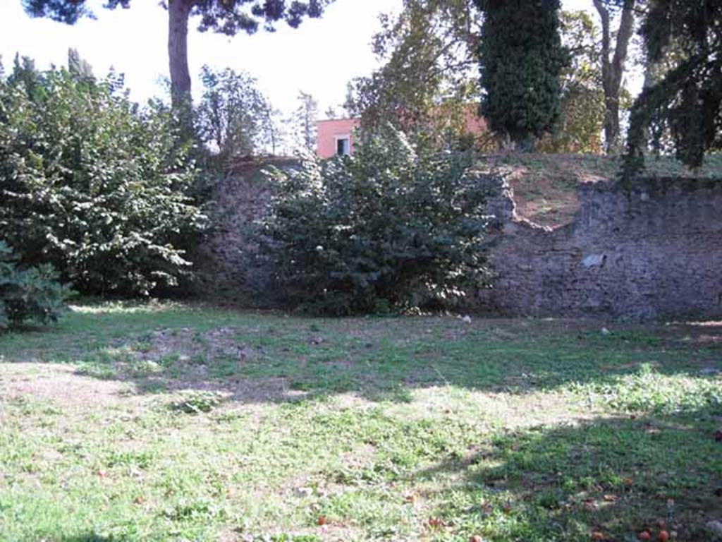
I.5.2 Pompeii. September 2010. Photo courtesy of Drew Baker. South wall of garden area.
According to CTP, there were five doorways blocked in antiquity in this wall, mentioned by Mau in BdI.
See Van der Poel, H. B., 1986. Corpus Topographicum Pompeianum, Part IIIA. Austin: University of Texas. (p.2)
See BdI 1874, p.275.
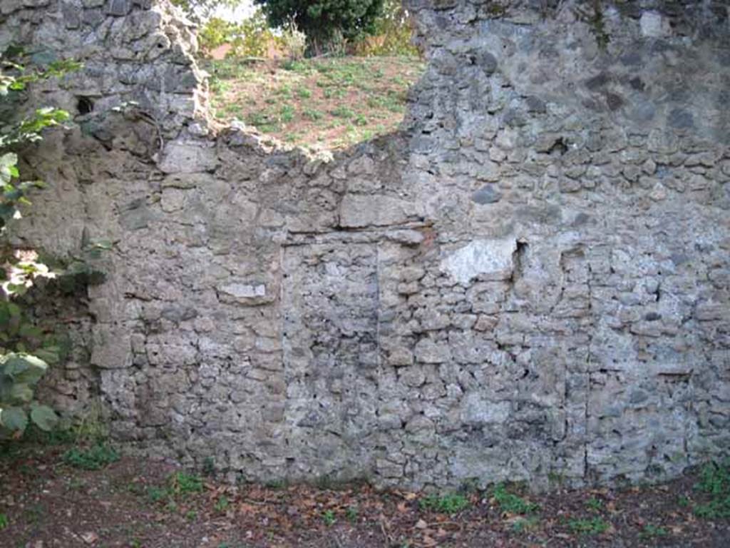
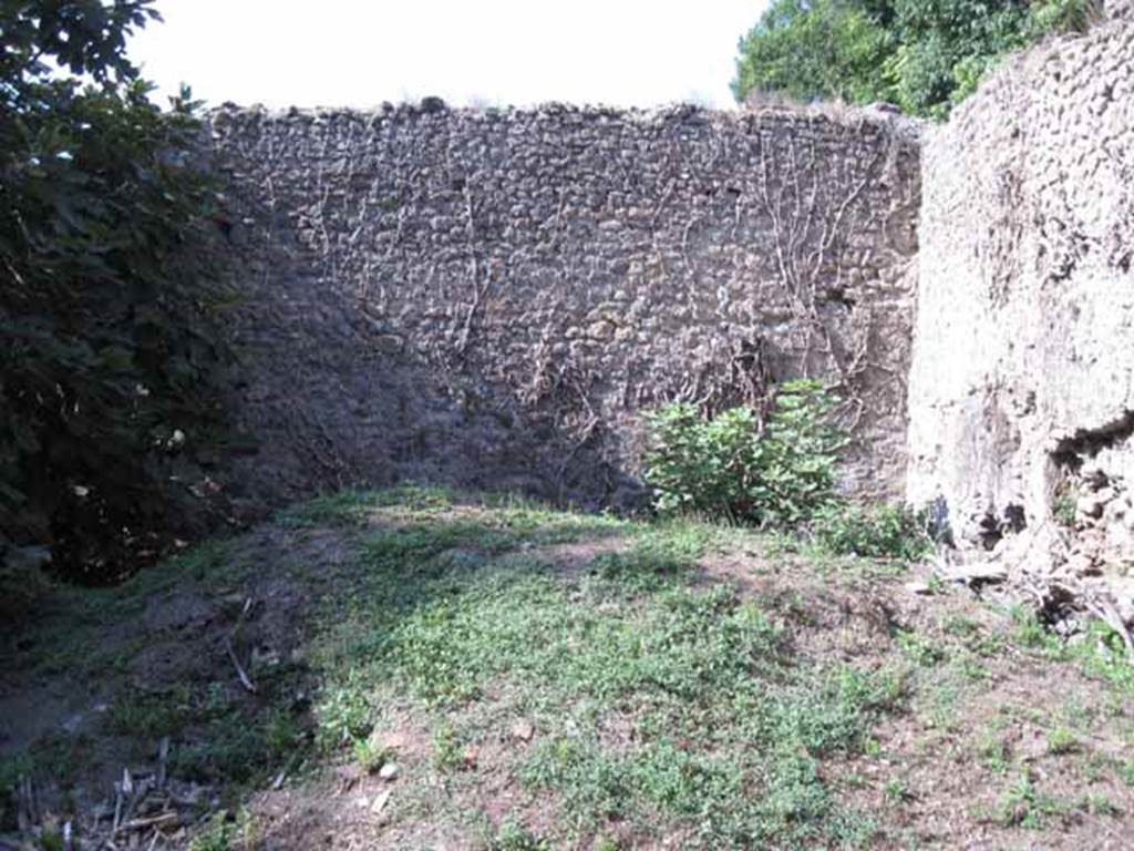
I.5.2 Pompeii. September 2010. South wall.
Detail of blocked up doorway (left side of wall) leading to unnamed vicolo running between I.V and city walls, looking south towards wall.
Photo courtesy of Drew Baker.
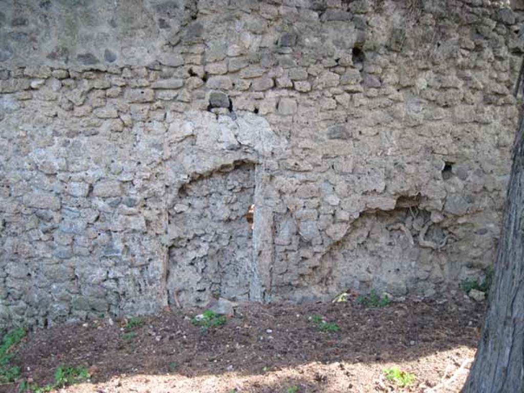
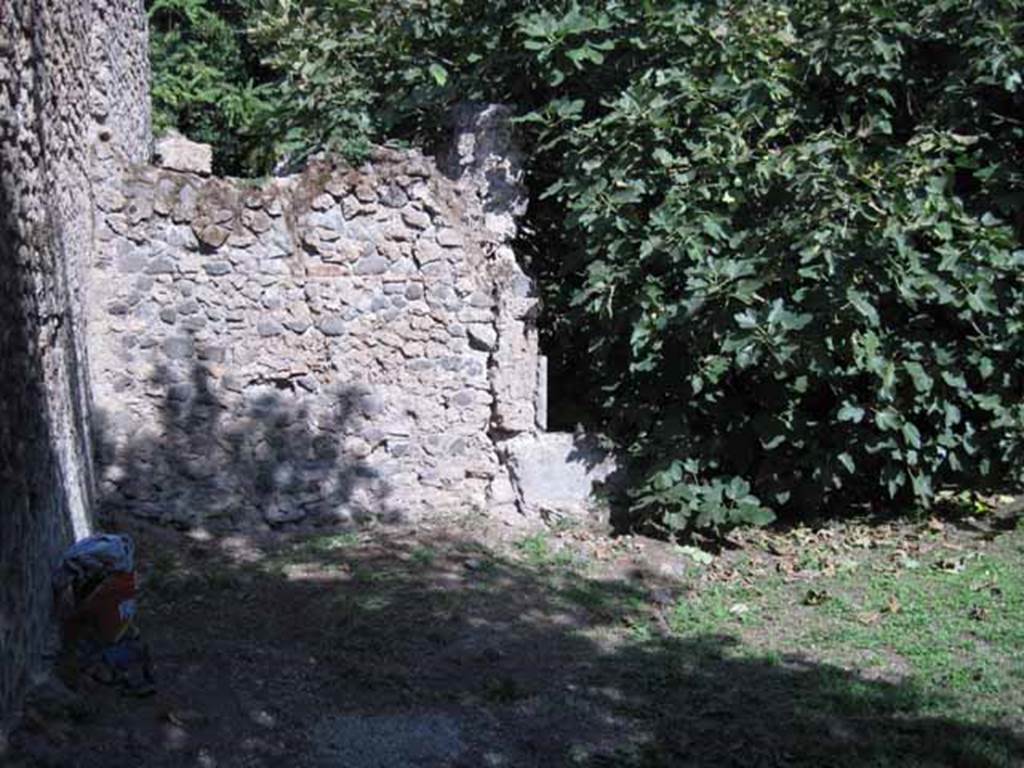
I.5.2 Pompeii. September 2010. South wall.
Detail of blocked up doorway (right side of wall) leading to unnamed vicolo running between I.V and city walls looking south towards wall.
Photo courtesy of Drew Baker.
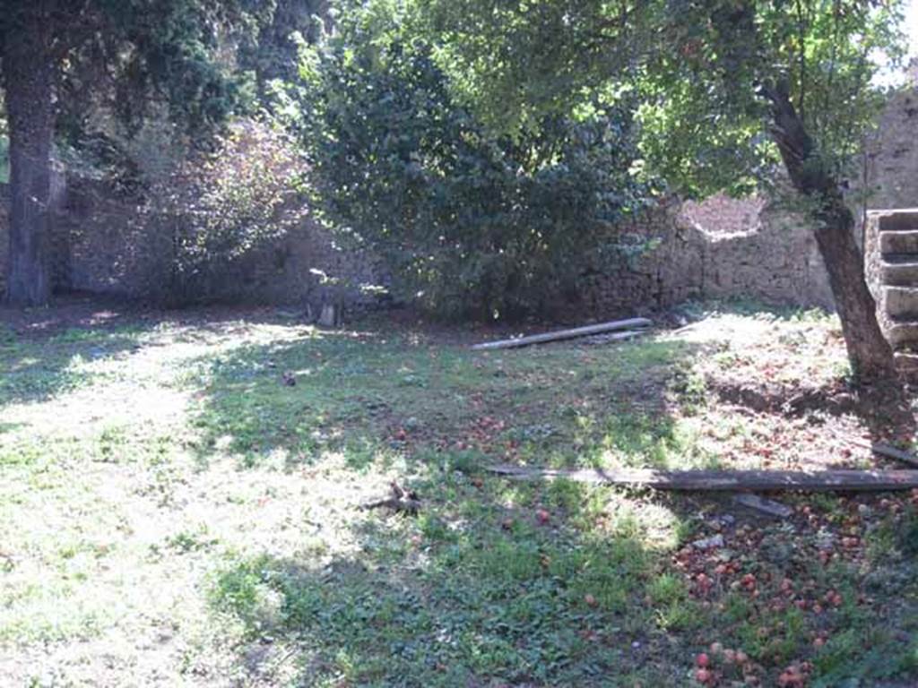
I.5.2 Pompeii. September 2010. Garden area, looking west. Photo courtesy of Drew Baker.
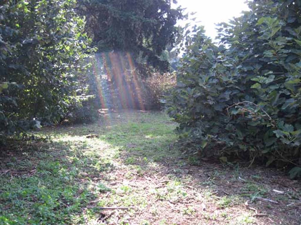
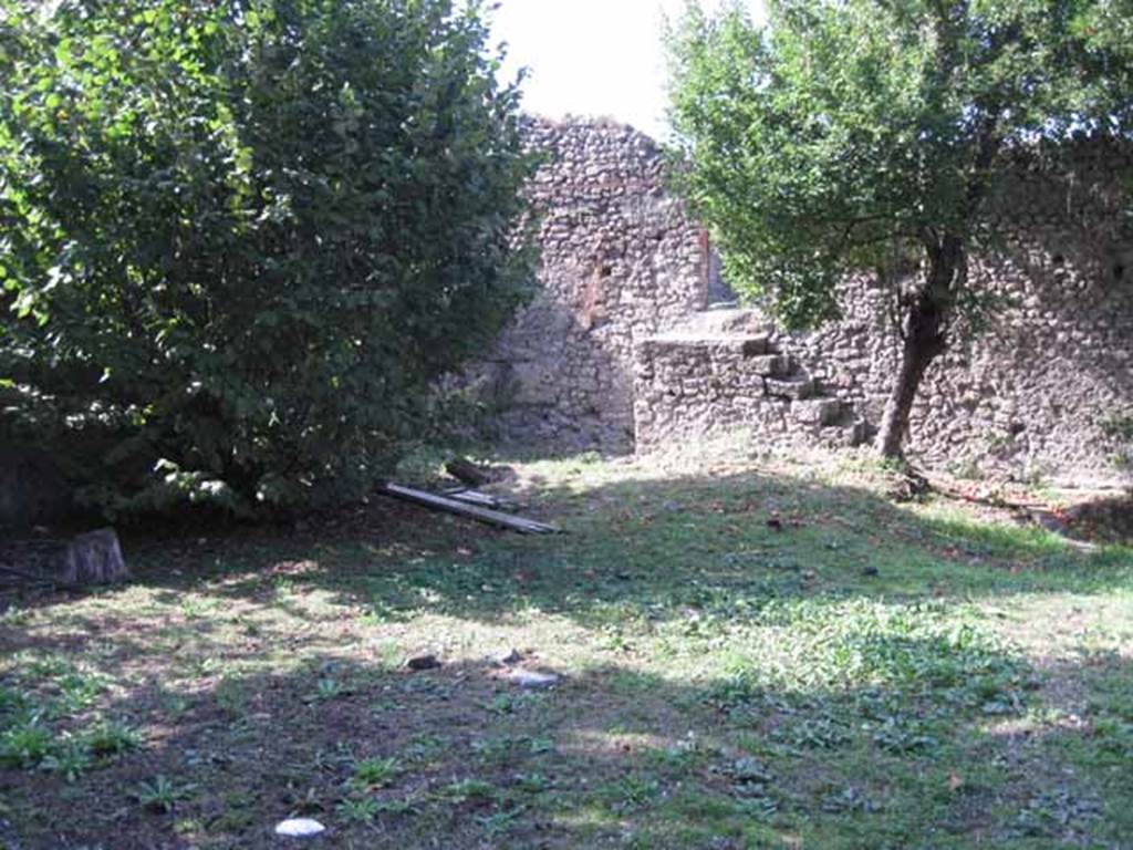
I.5.2 Pompeii. September 2010. Rear of garden area, looking west. Photo courtesy of Drew Baker.
I.5.2 Pompeii. September 2010. Rear of garden, looking north. (The wall in front is part of I.5.3). Photo courtesy of Drew Baker.
I.5.2 Pompeii. September 2010. Garden area looking north towards Vicolo del Conciapelle. Photo courtesy of Drew Baker.
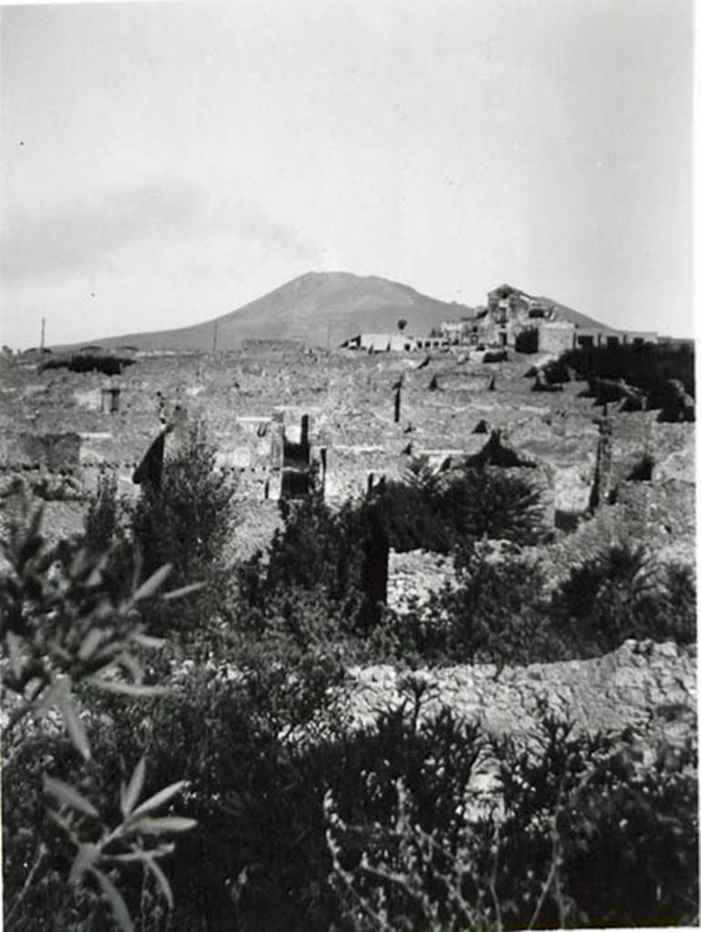
I.5.2 Pompeii. 1936, taken by Tatiana Warscher. Looking north.
Warscher described this photo as -
“The photo was taken from the south wall of the city.
In the central zone, the spacious garden “m” can be seen.
The spacious “m” is now filled with trees.
Perhaps in the ancient city it was a garden where the plants that were necessary for the occupation were grown”.
See Warscher T., 1936. Codex Topographicus Pompeianus: Regio I.1, I.5. (no.34), Rome: DAIR, whose copyright it remains.
Pompeii. September 2010.
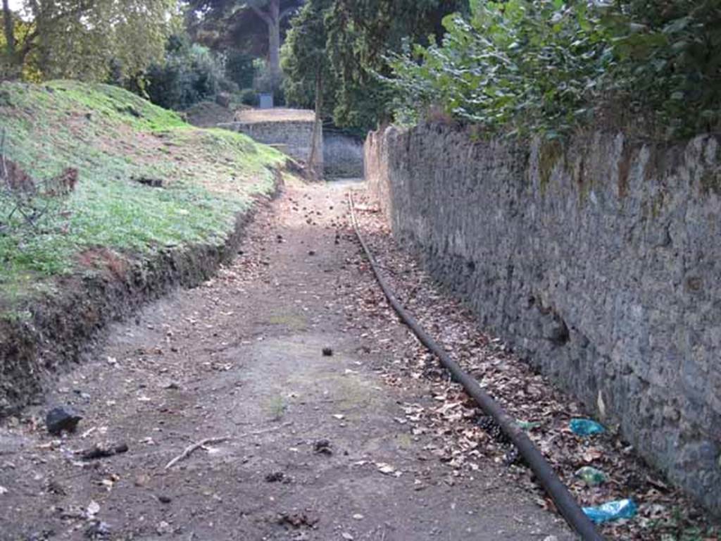
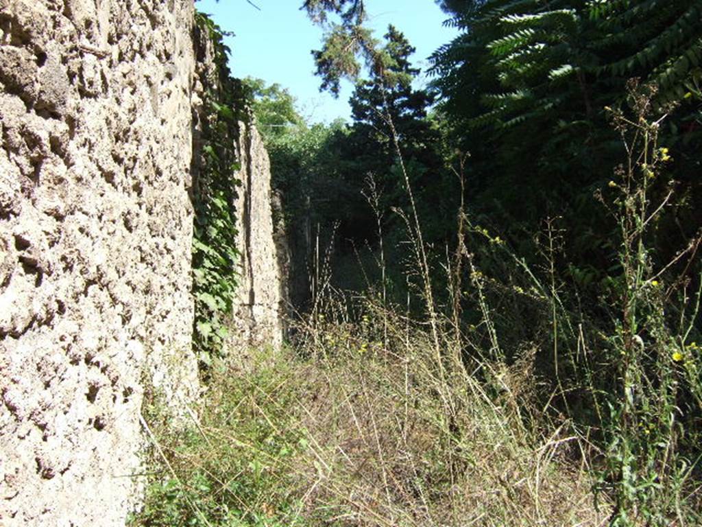
Unnamed vicolo between the city walls and 1.5, looking west towards Via Stabiana. Photo courtesy of Drew Baker.
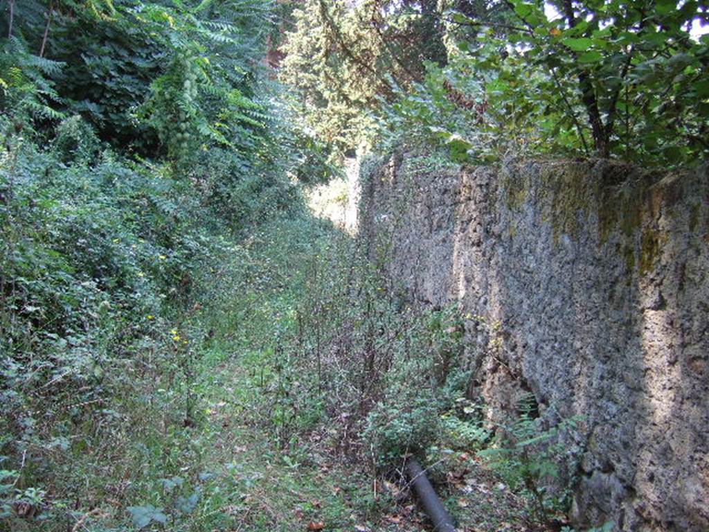
Vicolo on south side of I.5, looking west. September 2005.
I.5 Pompeii, on left. September 2005. Vicolo looking east. Town walls near Stabian Gate, on right.

I.1 Pompeii, on left. September 2005. Vicolo looking north. I.5, on right.
I.5.2 Pompeii, on left. September 2005. Vicolo del Conciapelle looking west. I.2, on right.
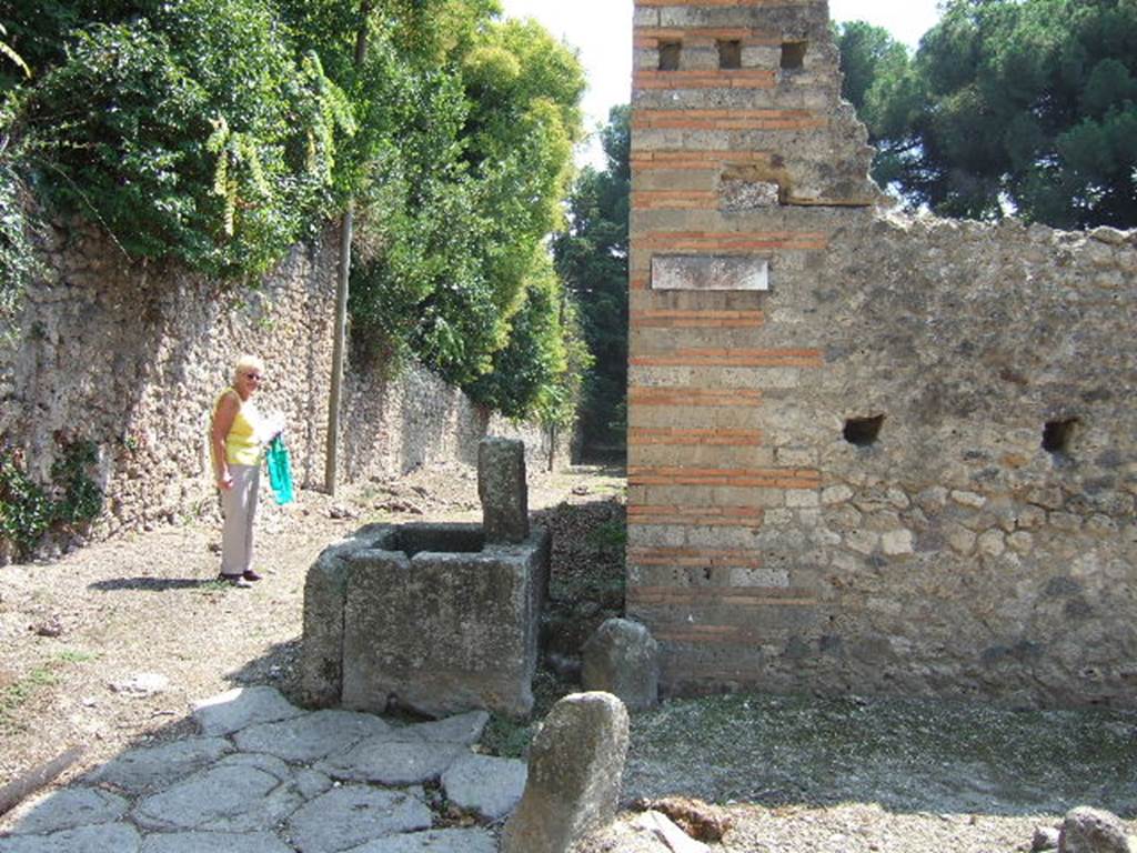
Fountain outside north-east corner at I.5.2. September 2005. Looking south.
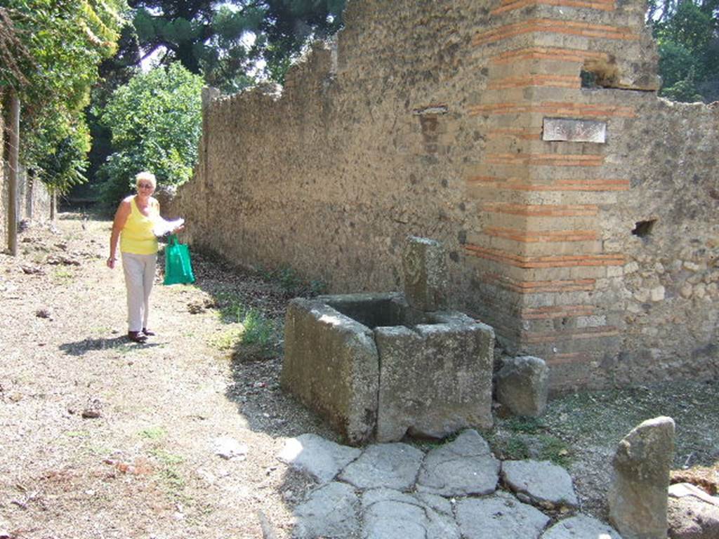
Fountain outside I.5.2. September 2005. Looking south along Vicolo del Citarista.
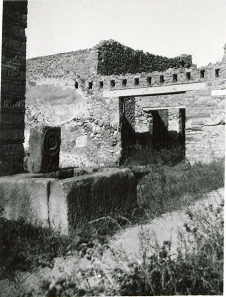
Fountain outside I.5.2. 1936 by Tatiana Warscher.
Looking north-west across fountain in Vicolo del Citarista, towards Vicolo del Conciapelle and entrance at I.2.23.
Warscher described this from Mau, Bull. Inst. 1875, p.25, as -
“Sul lato
orientale del cantone NE dell’isola sta una fontana della solita forma. Il foro per il tubo dell’acquedotto forma il
centro d’un ornamento circolare”.
(translation: “On the east side of the insula, in the
north-east corner, there was a fountain of the usual form.
The hole for the tube for the water formed the centre of a circular ornament.
See Warscher T., 1936. Codex Topographicus Pompeianus: Regio I.1, I.5. (no.35), Rome: DAIR, whose copyright it remains.
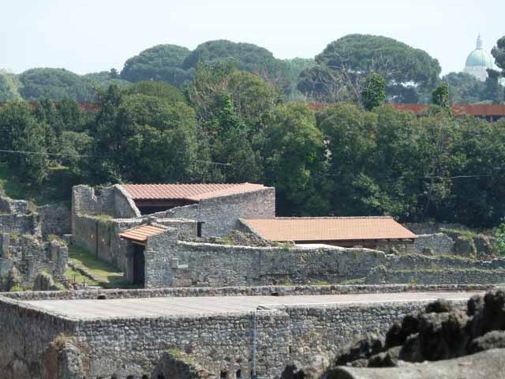
I.5.1 and I.5.2, with new roofs. May 2010. Looking east from the Triangular Forum.
This extract from Tatiana Warscher’s “Codex Topographicus Pompeianus: Regio I.1, I.5” (1936) appears at the end of all the properties in I.5 on this website.
Warscher quoting
Mau in Bull. Inst.1875, p.25, described Vicolo del Conciapelle
as via tertia, -
“L’insula 5 della
Regione I è quasi tutta occupata dalla conceria. Fuori di essa non vi è che il
compreso rozzo sul lato E ed una bottega con tre camere sul cantone NO”
(Translation: Insula 5 of Region I was nearly all
occupied by a tannery. Outside of this, there was nothing other than a coarse
complex on its east side, and a shop with three rooms in the north-west corner
of the insula).
Quoting Sogliano
in Giornale degli Scavi N.S. III, no.21,
1874, p.8, she wrote –
“Chiameremo 5 per
l’ordine cronologico dei cavamenti quest’isola della I Regione, la quale per
essere parallela e vicina alla I doverebbe piuttosto dirsi 2.
Considerando la
parte finora scoverta, osserviamo a prima vista che la sua costruzione offre in
taluni punti grandi lastre del tufo di Sarno, in altri quello di Nocera, e per
lo più l’opus incertum.
I tre vicoli, che
rasentano ad oriente, settentrione ed occidente, non sono lastricati; il
settentrionale è accessibile solo per i due altri margines, ricongiunti nel
mezzo di esso da un piccolo ponte in fabbrica.
Quest’isola, per
la sua situazione presso la porta Stabiana e per la sua località, sembra sia
stata abitata in gran parte da persone viventi col commercio e coll’industria”.
See Warscher T., 1936. Codex Topographicus Pompeianus: Regio I.1, I.5. Rome: DAIR, whose copyright it remains.
(Translation: we will call insula 5 for the chronological
order of the excavating of this insula of Region I, which being parallel and
near to insula 1, should rather be called 2. Considering the part already
excavated, we see at first glance that its construction offers in some places large slabs of Sarno tufa, Nocera tufa in other
places, and mostly opus incertum. The three vicoli,
that border to the East, North and West, are not paved; the North was
accessible only by its two other sides, reuniting in the middle of it by a
small masonry bridge. This insula, for its situation near the Stabian Gate and
due to its location, seems to have been inhabited largely by persons living
with commerce and industry.")
Part 1 Part 2
Part 3 Part 4 Part 5